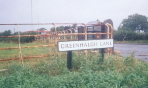
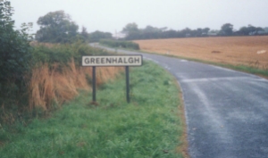
These were the first images of Greenhalgh I had ever seen.
Since then I have visited the place and Matthew sent me
some photos which can be seen
here. If you do visit and take pictures to feel free
to send them to kevin@greenhalgh-web.co.uk


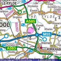
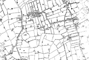
Greenhalgh
village is marked on the new map as a pink spot, if you
compare the map dated 1847 with the new one you will see
that very little has changed in over 150 years, with obvious
exception to the addition of a motorway you can also see
that part of the A585 already existed in 1847.
Each map can be clicked to give you a better view.


I
found these maps at these two sites
Old maps.co.uk
Get a map
@ the ordnance survey
For
more images of Greenhalgh Village
click here |


